


12.5 km | 20 km-effort

User


FREE GPS app for hiking
 SityTrail
IGN / Geographical institutes
SityTrail World
The world is yours!
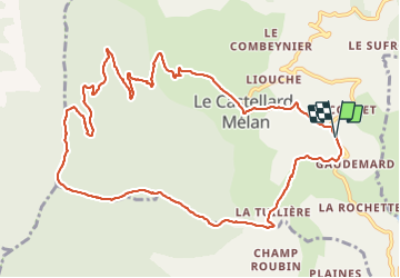
Trail Walking of 13.2 km to be discovered at Provence-Alpes-Côte d'Azur, Alpes-de-Haute-Provence, Le Castellard-Mélan. This trail is proposed by jalien04.
Rejoindre le chemin de la GTPA après avoir traversé le radier du ravin des Graves, puis direction Thoard jusqu'au poteau téléphonique ou arrive la GTPA. Prendre à droite et poursuivre sur une montée bien marquée jusqu'en crête à proximité du sommet de Vaumuse, prendre plein Nord et au point le plus bas avant le sommet du Corbeau, "les Gorges", prendre sur la droite l'amorce de sentier vers l'Est, l'ancien chemin de Sisteron au Castellard, un parking des "postés" dans le langage de la chasse et rejoindre la piste d'exploitation principale vers le Nord. Une bonne demi-heure de descente et peu après une clairière bien dégagée (panneau Parking) poursuivre jusqu'au prochain virage à droite de la piste. En ce point vous faites un tout droit pour abandonner la piste, puis descendre à droite en longeant le bois, le sentier vous amène au ravin des Graves. Montée jusqu'au Castellard et suivre la RD17 en descendant.
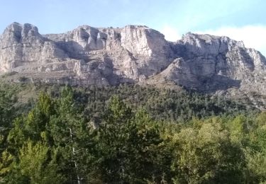
 La Tuilere-Vaumuse-Le Castellard - Photo 1")
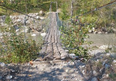
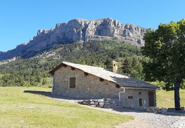
 La Tuilere-Vaumuse-Le Castellard - Photo 2")
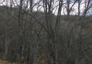
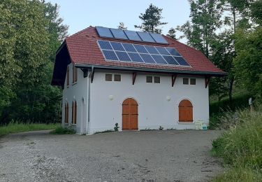
 La Tuilere-Vaumuse-Le Castellard - Photo 3")
 La Tuilere-Vaumuse-Le Castellard - Photo 4")
Walking

Walking

Walking
Walking

Walking

Walking
Walking
Walking
Walking